Tjornuvik

Day-of-Visit Snapshot
3-Second Operational AnswersMorning Beach Pulse & Marine Telemetry
Cove Aspect & Shelter Compass
Seaward Orientation vs. Live Wind DirectionSeasonal Sea Warmth & Bathing Climatology
| Month | Sea Surface Temp | Air Temp | Thermal Category |
|---|---|---|---|
| January | 7.2°C | 8°C | Crisp & Bracing |
| February | 6.9°C | 9°C | Crisp & Bracing |
| March | 6.9°C | 11°C | Crisp & Bracing |
| April | 7.2°C | 14°C | Crisp & Bracing |
| May | 7.6°C | 17°C | Crisp & Bracing |
| June | 8.6°C | 20°C | Crisp & Bracing |
| July | 9.7°C | 22°C | Crisp & Bracing |
| August | 10.3°C | 22°C | Crisp & Bracing |
| September | 10.2°C | 20°C | Crisp & Bracing |
| October | 9.5°C | 17°C | Crisp & Bracing |
| November | 8.6°C | 13°C | Crisp & Bracing |
| December | 7.7°C | 10°C | Crisp & Bracing |
Share with your group
Send today's water temperature, wind shelter, and beach access straight into your chat.
Bathing Water Purity & Statutory Standards
Official European Environment Agency (EEA) water monitoring verifies recreational cleanliness, sewage absence, and safety standards across all 31 member and partner coastal nations.
Score Breakdown
About Tjornuvik
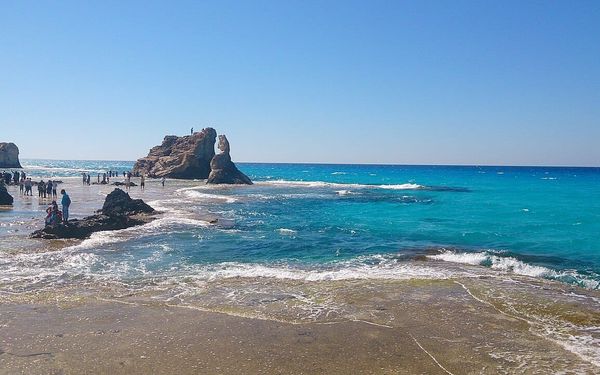
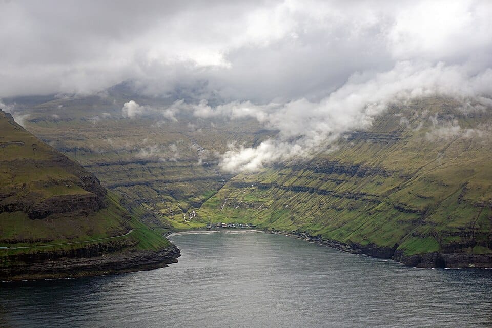
Black sand in an amphitheatre of peaks, gazing out at the Faroes' famous giant-and-witch sea stacks.
Key Beach Facts
Official RecordsSand Transparency & Sunbed Index
Public sand quota, private lido density, and legal towel placement rights
Arrival Logistics, Parking & Sun Exposure
Micro-logistics, parking payment taxonomy, and topographic shadow schedules.
Parking Payment & Rates
Follow local municipal parking signage to avoid fines during summer peak hours.
Sun Exposure & Cliff Shadows
Faces westward into the open horizon, offering bright afternoon sun and prime sunset vantage points.
Footwear & Karst Protection
Pebbles and dark sand become scorching hot by midday and challenging under barefoot tread.
Amenities & Facilities
Getting There & Local Notes
Located near Streymoy, Faroe Islands. Accessible via regional coastal roads (62.289°N, -7.145°E).
Nearest Airport & Transit Gateway
INTL · 40m driveConvenient highway or local transit access across Streymoy, Faroe Islands.
Frequently Asked Questions about Tjornuvik
What is the water temperature at Tjornuvik?
The peak summer sea surface temperature at Tjornuvik averages 10.3°C (51°F), based on 30-year NOAA satellite climatology.
What type of coast or sand is Tjornuvik?
Tjornuvik is classified as a volcanic black sand shoreline located in Streymoy, Faroe Islands.
Is Tjornuvik good for families with kids?
Tjornuvik has steeper entry or natural coastal features better suited for confident swimmers.
Are there parking and facilities at Tjornuvik?
Free parking is available. No public restrooms directly on-site.
More Beaches in Faroe IslandsRegional Guide
Warmest European Beaches this SeasonNOAA Climatology